National Environmental Policy Act
Click here to learn more about the National Environmental Policy Act (NEPA), which was signed into law on January 1, 1970.
The Environmental Transportation Impact Analysis Study analyzes how transportation affects our region’s air, water, and public health and provide actionable insights. This study responds to growing regional concerns about the environmental and public health impacts due to transportation, and is meant to help communities make practical, informed choices.
For over 100 years, the Roanoke Valley has been shaped by major transportation investments. Our transportation system includes many travel options, including rail, which helped build the region we know today. This study reviews today’s environmental conditions, highlights sustainable transportation efforts already underway, and considers future climate projections. By setting a clear baseline, localities and partners can better identify pollution hotspots, understand which neighborhoods may be more vulnerable, and focus on actions that reduce emissions while still supporting jobs, travel, and daily life.
RVARC staff will share three final deliverables and update them quarterly to keep localities informed with current metrics and support planning and project decisions.
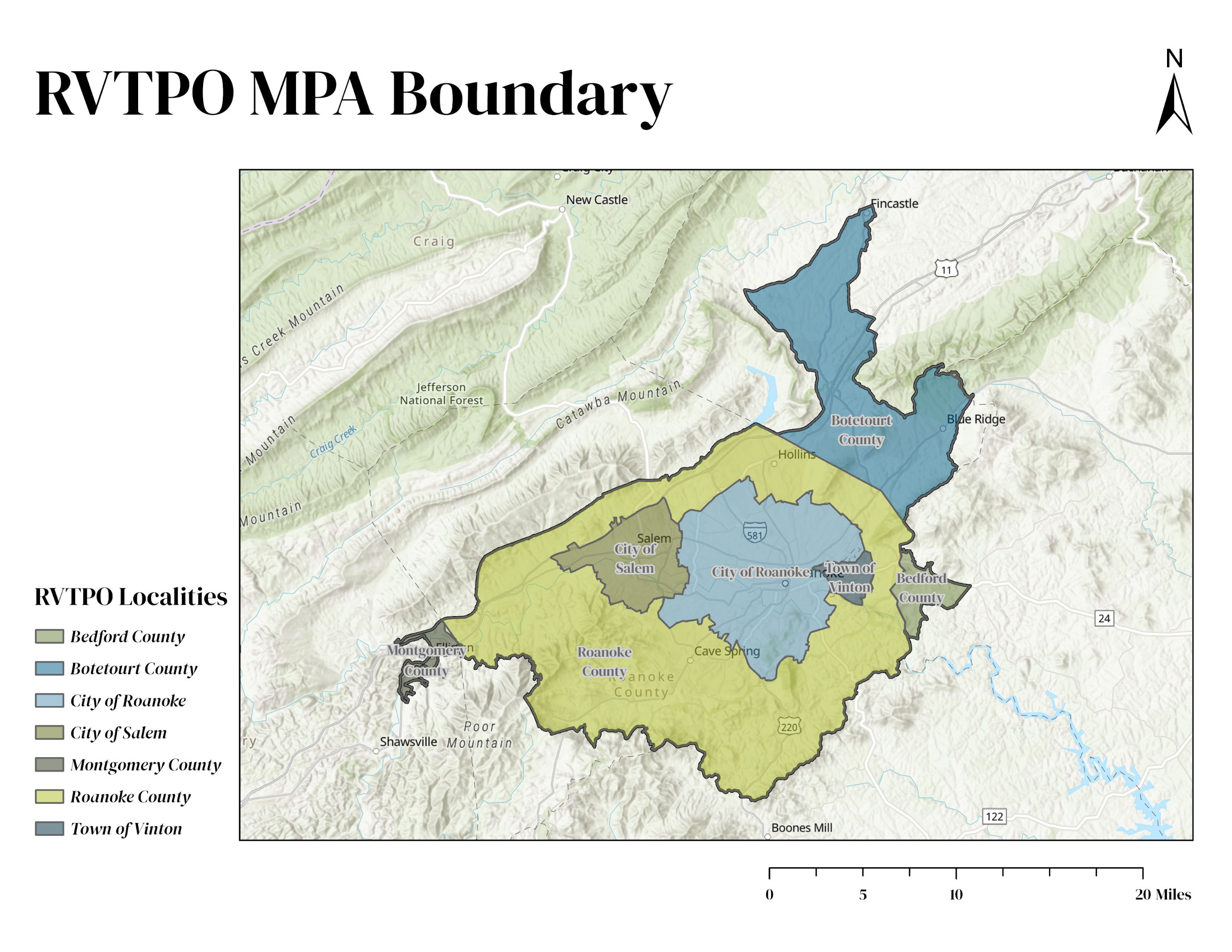
RVTPO coverage area consists of the following localities:
Click here to learn more about the National Environmental Policy Act (NEPA), which was signed into law on January 1, 1970.
Click here to learn more about the Clean Air Act, which was last amended in 1990, requires EPA to set National Ambient Air Quality Standards (40 CFR part 50) for six principal pollutants ("criteria" air pollutants), which can be harmful to public health and the environment. The Clean Air Act identifies two types of national ambient air quality standards.
![]()
Have questions or want to learn more about a project, contact us below:
| Website | rvarc.org |
|---|---|
| In writing | Roanoke Valley-Alleghany Regional Commission |


